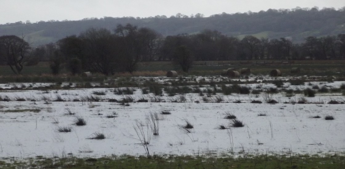
The Somerset Levels lie between two ranges of Somerset hills, the Mendips and the Poldens; the Levels are a low-lying area about 160,000 sq acres stretching from the coast inland eastwards and have always been marshy, flooded areas. In the winter the land was mainly islands, maybe linked by causeways and constructed paths, going back to Neolithic times and efforts to drain the area have been on-going since the Romans were here.
Channels, rhynes, and drainage ditches intersected the land, flowing into the rivers that crossed the levels, the Axe (which runs into the sea near us here in Uphill) and the rivers Brue, Huntspill, Parrett, Tone, and Yeo, and the King’s Sedgemore drain which was constructed in the 1790’s. So traditionally this has been land known to flood when the rivers are high, or the tides are strong or an excessive amount of rain or snowmelt runs off the hills… but nothing, for as long as most people can remember, compares to what we are seeing this winter.
Th whole of the south-west of England, as well as the west Midlands, Wales and Scotland has been affected by the non-stop, torrential rain we have had for months now. Early in 2012 there was going to be a hose-pipe ban because water-levels were so low… now the water-table is so high that whenever it rains the water just sits on the roads and land because it has nowhere to drain into, the drainage system is full.
We drove out to Cheddar, onto Wells, to Glastonbury and home…
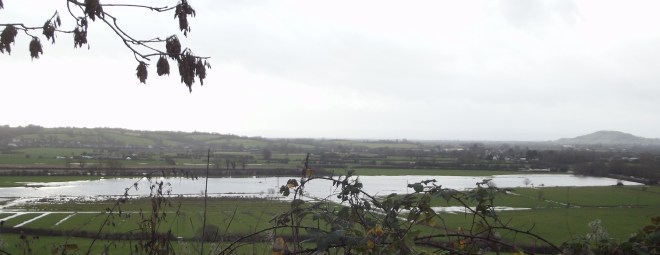
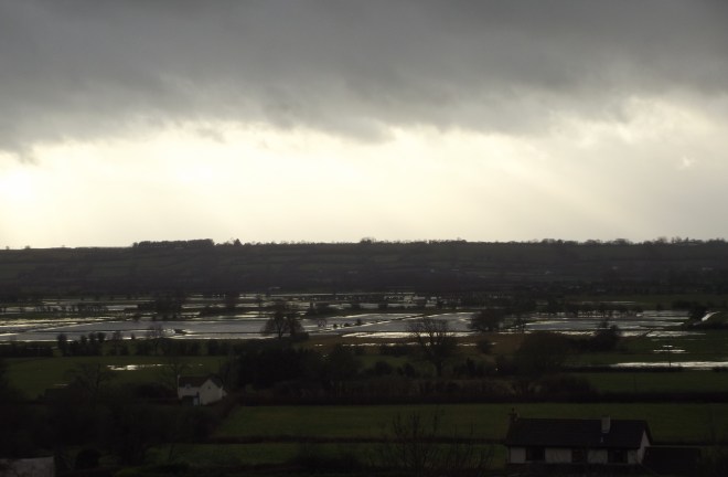
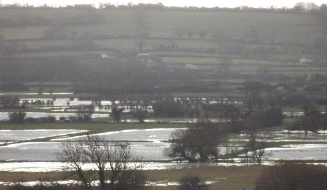


It looks sodden! And not good for pasture to have that water lying around. Never rains but it pours.
LikeLike
The farmers are under so much pressure already I’m sure this is the worst possible thing for them.
LikeLike
farming is a difficult occupation at the best of times.
LikeLike
Wherever they are in the world… there is a saying over here “You never see a farmer on a bike,” meaning they are rich enough to have a big car – not sure that is true any longer.
LikeLike